
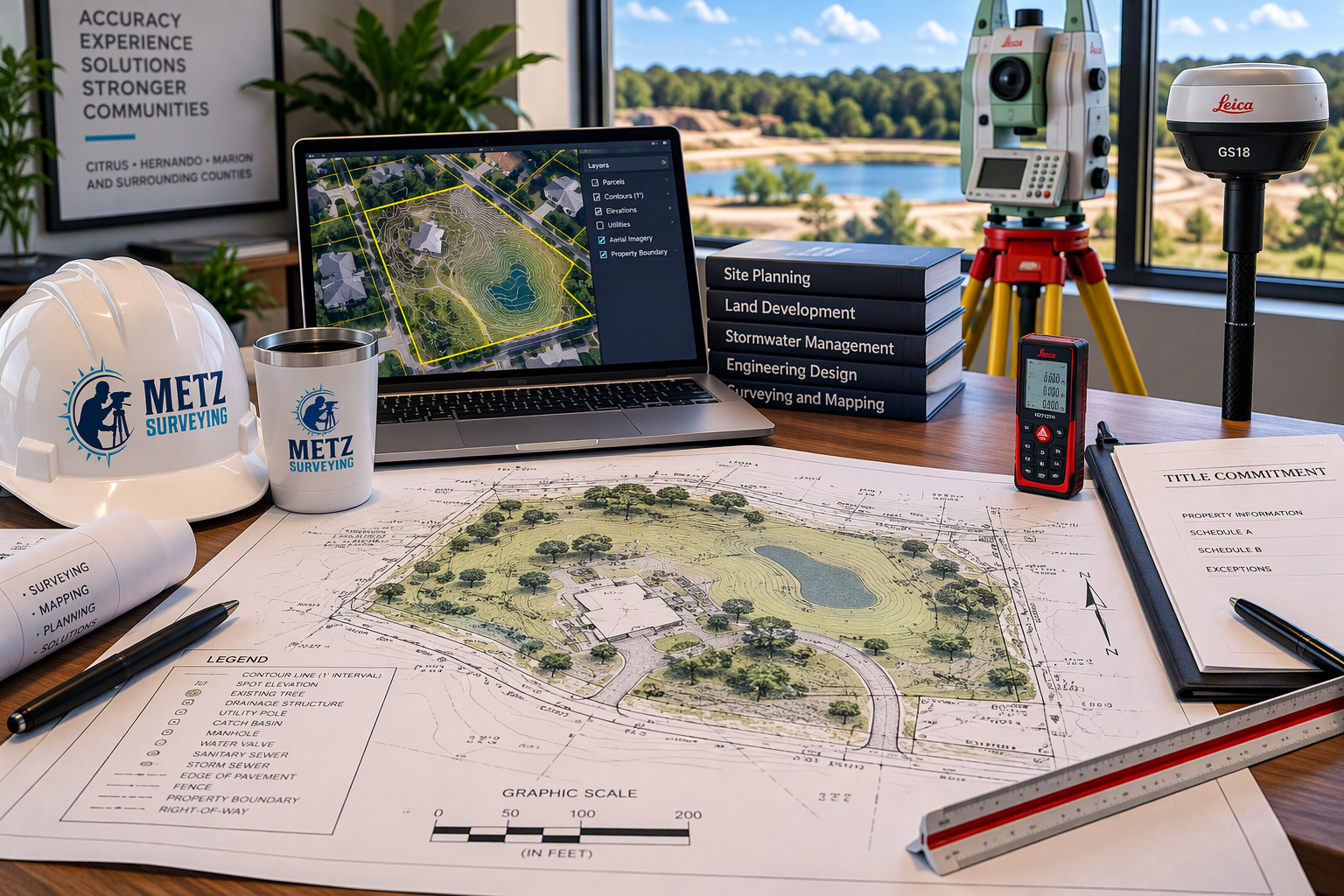
Professional topographic surveys for land development, engineering design, drainage studies, permitting, and construction projects. Serving Citrus, Levy, Hernando, Marion, and surrounding Florida counties.
survey Precision, Delivered.
survey Precision, Delivered.
Topographic Surveys
A Topographic Survey provides detailed information about the natural and man-made features located on a property. Using advanced surveying technology and GPS equipment, elevations and existing site conditions are accurately measured and mapped to create a comprehensive representation of the land.
Topographic Surveys are commonly required for site planning, engineering design, drainage analysis, stormwater management, permitting, construction projects, land development, and utility design. The survey identifies existing improvements and terrain features that may impact future development, helping engineers, architects, contractors, and property owners make informed decisions before construction begins.
At Metz Surveying, we provide accurate and detailed Topographic Surveys throughout Citrus, Hernando, Marion, and surrounding counties. Our surveys are tailored to meet the needs of developers, engineers, architects, contractors, municipalities, and private property owners by delivering reliable existing conditions data for projects of all sizes.
Common Uses for a Topographic Survey
Site Development and Planning
Residential and Commercial Design
Engineering and Drainage Design
Stormwater Management Plans
Permitting and Entitlement Applications
Construction Planning
Utility Design and Improvements
Land Development Projects
Information Typically Shown on a Topographic Survey
Existing Ground Elevations
Contour Lines
Buildings and Structures
Driveways and Parking Areas
Utility Features
Drainage Structures
Ditches, Swales, and Retention Areas
Fences and Walls
Trees and Significant Vegetation
Roads and Rights-of-Way
Surface Features and Improvements
Why Choose Metz Surveying?
Metz Surveying utilizes modern GPS and conventional surveying equipment to collect accurate field data and produce detailed topographic maps that support efficient project planning and design. Whether you are developing a commercial site, designing a new subdivision, planning drainage improvements, or building a custom home, our team provides the dependable topographic information necessary to move your project forward with confidence.
Need a Topographic Survey for your next project? Contact Metz Surveying today to discuss your scope and receive a customized proposal.